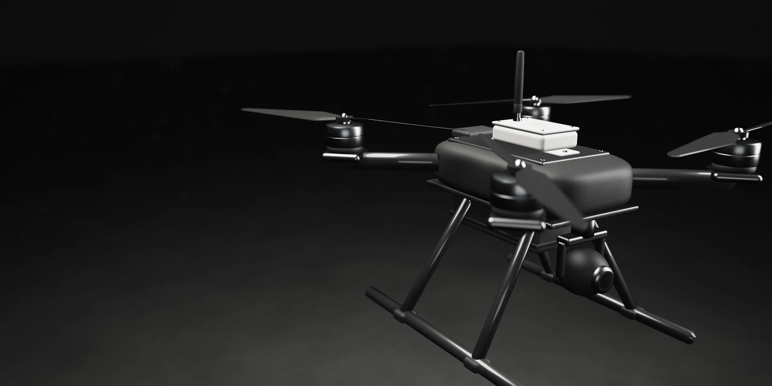
Stockholm 59.35°N 18.07°E
Position beyond satellites
Your drones keep a trusted position, even when GNSS is jammed, spoofed or gone.
01 / Problem
GNSS interference, on record
Satellite navigation is no longer a given.
Jamming and spoofing now reach ships, aircraft and drones every day.
-
At sea
14
European coastal states warn that GNSS interference has raised safety risks for shipping in the Baltic and North Sea.
-
At sea
18,300
Vessels hit by GPS jamming worldwide in the second half of 2025.
-
In the air
+193%
Reported GPS spoofing incidents on flights in 2025, compared with 2023.
-
On the front line
50%+
Of enemy aerial assets are now jammed by electronic warfare, says Ukraine’s Ground Forces.
Europe’s coastal states now call for terrestrial radio navigation as a backup. NavTether builds it, starting with drones.
02 / System
Defence · Maritime · Logistics · Inspection
Position from the ground up.
Small anchors on the ground. A receiver on the drone. A position you can trust, without satellites.
Fig. 01 — Plan view
North up
- 01 Ground anchors
- 02 Receiver on the drone
- 03 Trusted position
Anchors mark out the area. Inside it, your drone keeps a position it can trust.
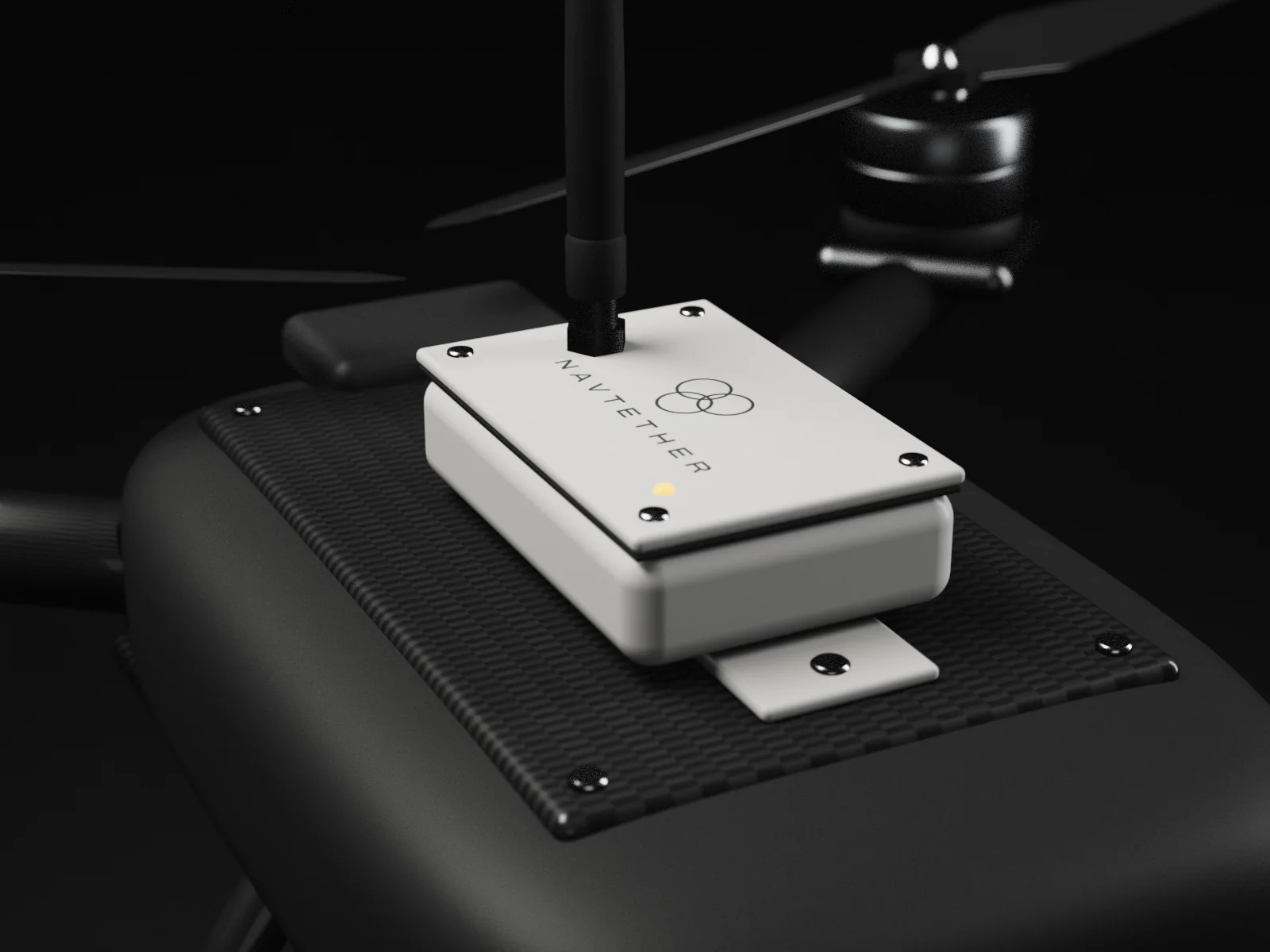
02.1 — On the drone
Receiver
A compact add-on that feeds position to your flight controller. Small, light and platform-independent.
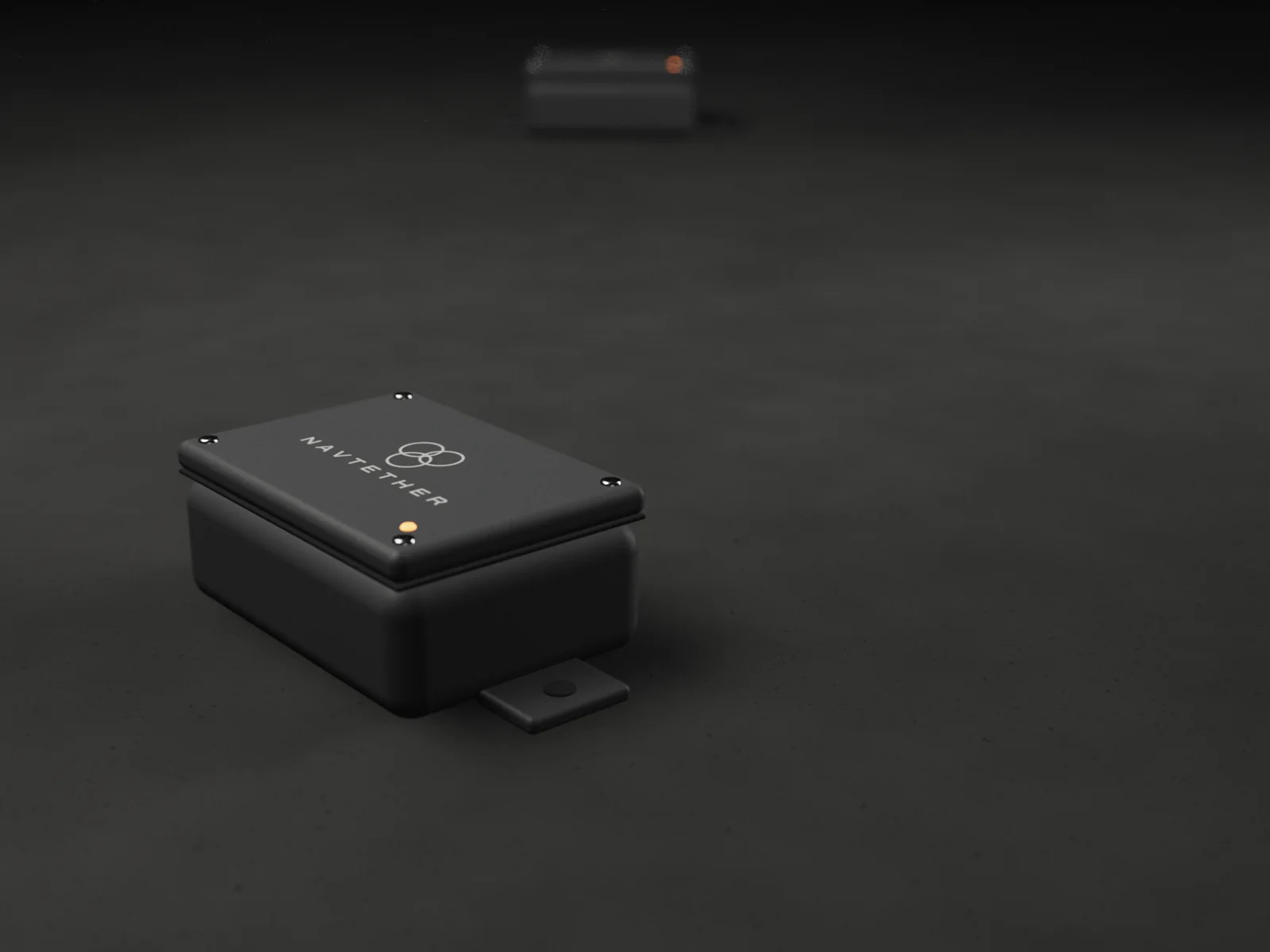
02.2 — On the ground
Anchor
A small sealed box. Ultra-low power, built to run unattended for up to ten years.
03 / Contact
Early access and pilots
Bring NavTether to your platform.
Drone makers, integrators and operators. Write to us.